DIGITAL IMAGE PROCESSING AND TECHNIQUES
Course Attendees
Still no participant
Course Reviews
Still no reviews
Course Name : DIGITAL IMAGE PROCESSING AND TECHNIQUES
Code(Credit) : MSGM 1102 (2-2-0)
Course Objectives
-
• To study the digital data, image format and extortion.
• To study various image distortion and rectification
• To study and apply various image enhancement techniques
• To understand image classification techniques
Learning Outcomes
-
At the end of this course the students will be able to learn :
• To understand the structure of spatial data including file associations,
attribute tables, Metadata, coordinate systems, and projections.
• To develop software skills in programs used for map production in the
modern cartographic workflow.
Course Syllabus
Module – I IMAGE ACQUISITION AND FORMAT
Digital Image Processing; Export and import, Data formats; BSQ, BIL, BIP, Run length encoding, Image Compression Data products.
Practice:
1. Export and Import
2. Histogram
3. Subset using AOI
Module – II IMAGE RECTIFICATION
Preprocessing and Post processing Geometric distortion; sources and causes for distortion, rectification, GCP, Resampling, Image registration, Radiometric distortion; sources and causes, atmospheric correction.
Practice:
1. Geometric correction
2. Radiometric correction
3. Atmospheric correction
Module –III IMAGE CLASSIFICATION
Classification techniques; types, Supervised and Un-supervised, PCA, Image Enhancement, Accuracy assessment.
Practice
1. Supervised Classification
2. Un-supervised Classification
3. Image Enhancement
4. Accuracy Assessment
Model – IV REMOTE SENSING APPLICATION
Hyperspectral RS and its application; Microwave RS and its application; Thermal RS and its application;Optical RS and its application.
Practice:
1. Application of Hyperspectral remote sensing and case study
2. Application of microwave remote sensing and case study
3. Application of thermal remote sensing and case study
4. Application of optical remote sensing and case study
Text Books
1. John J. Qu , Wei Gao, MenasKafatos , Robert E. Murphy, Vincent V. Salomonson, “Earth Science Satellite Remote Sensing”, Springer 2007.
2. Gupta .R.P, “Remote sensing Geology”, Springer, 2003.
3. Jean-yvesscanvk, “Aerospatial Remote Sensing in Geology”, A.A. Balakarma, Netherlands, 1997.
4. Drury .S.A, “Image interpretation in Geology”, Chapman and Hall, London. 1993.
5. Pandey .S.N, “Principles and Applications of Photogeology”, Wiley eastern. 1987.
Session Plan
Session 1
I am text block. Click edit button to change this text. Lorem ipsum dolor sit amet, consectetur adipiscing elit. Ut elit tellus, luctus nec ullamcorper mattis, pulvinar dapibus leo.
Session 2
I am text block. Click edit button to change this text. Lorem ipsum dolor sit amet, consectetur adipiscing elit. Ut elit tellus, luctus nec ullamcorper mattis, pulvinar dapibus leo.
Case Studies
Case Studies
Our Main Teachers

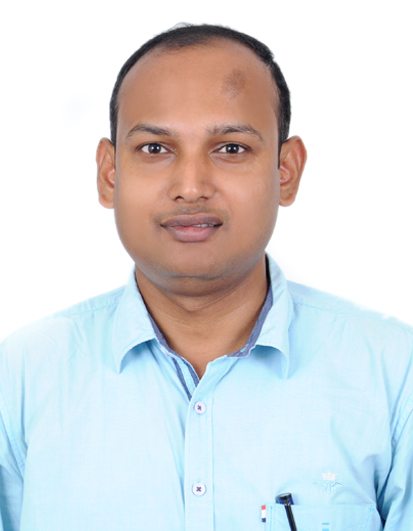
Dr. Kamal Kumar Barik is presently working as Associate Professor, Dept. of Civil Engineering, CUTM, Bhubaneswar Campus. He did his Ph.D. at SRM University, Chennai in the field of Remote Sensing and GIS. He has been more than 8 years of teaching experience at Post Graduate level (M.Sc. and M.Tech.). Previously he was served as […]


Recent Comments